
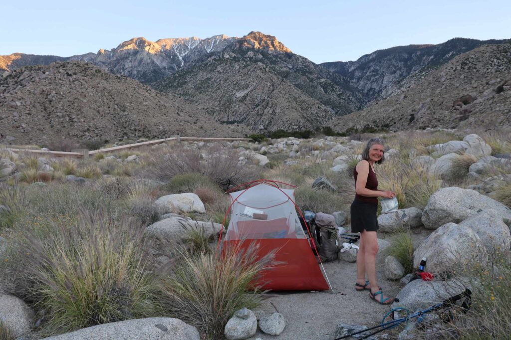
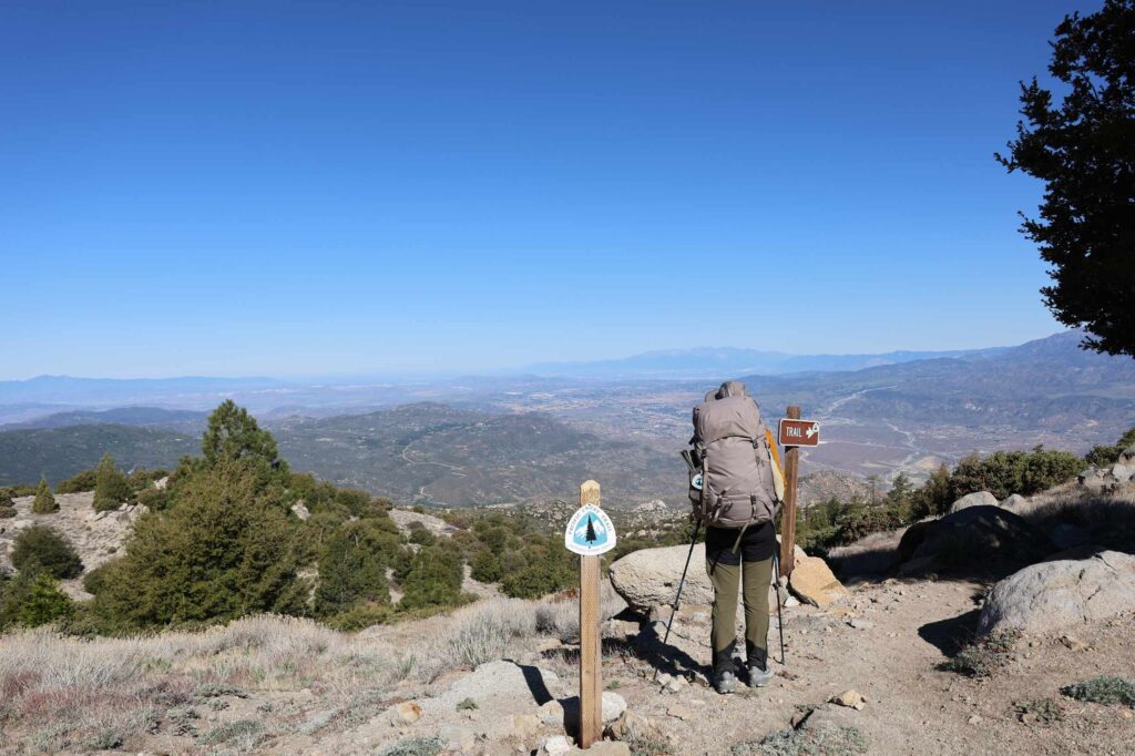
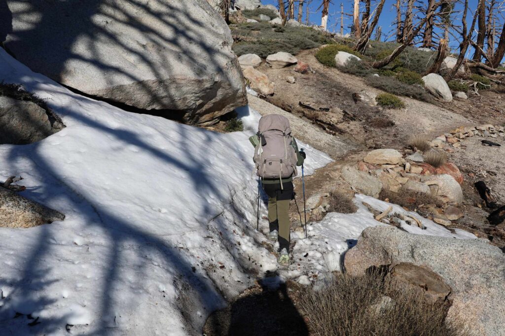
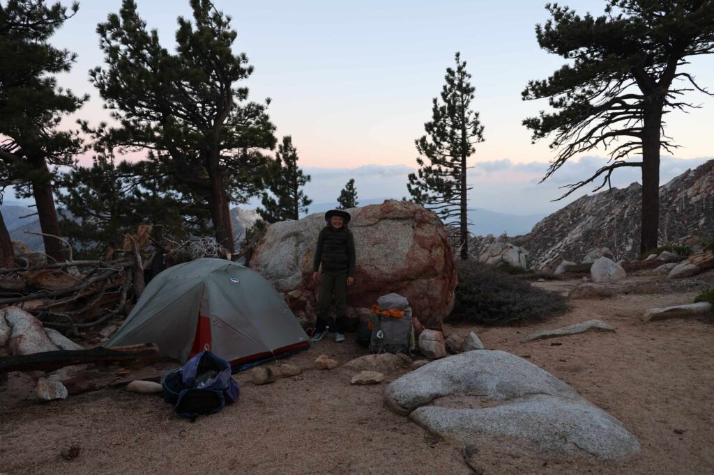
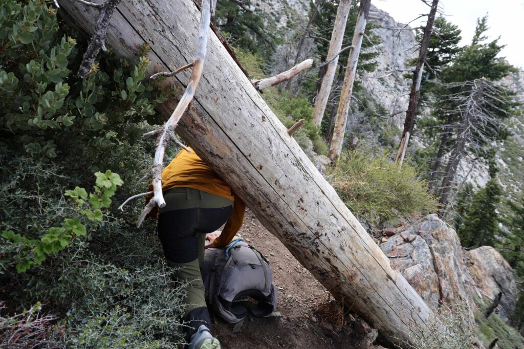
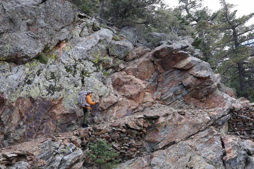
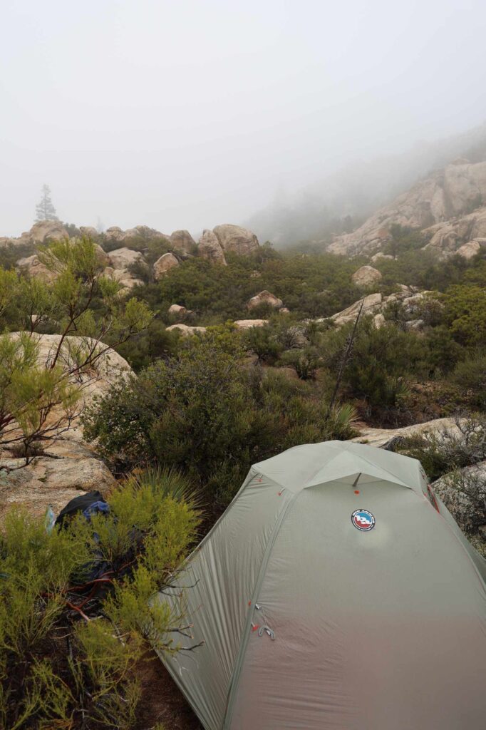
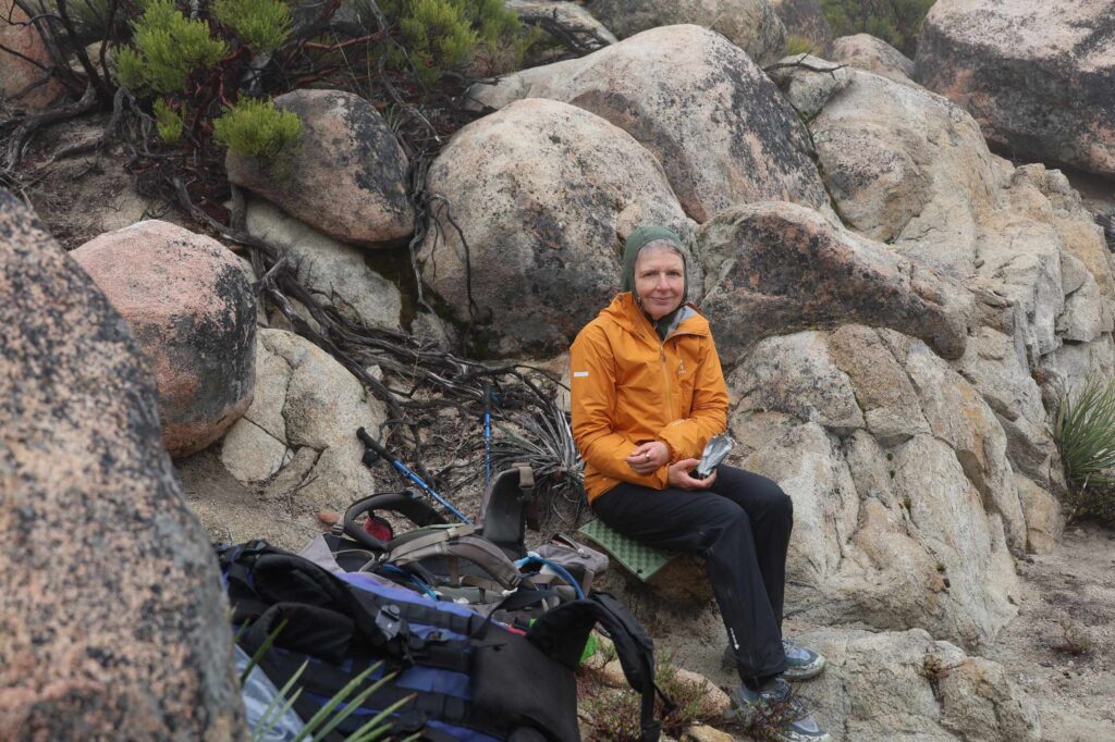
We have hiked all the way through our first hiking map – now there are only 10 maps left 😉 We have just passed the San Jacinto mountain range, which is the only place on the route in Southern California where there is a risk of snow. We went through smaller areas with snow, but didn’t need the snow spikes we have brought for our shoes. In contrast, there were lots of fallen trees across the track that you had to find a way under, over, or around.
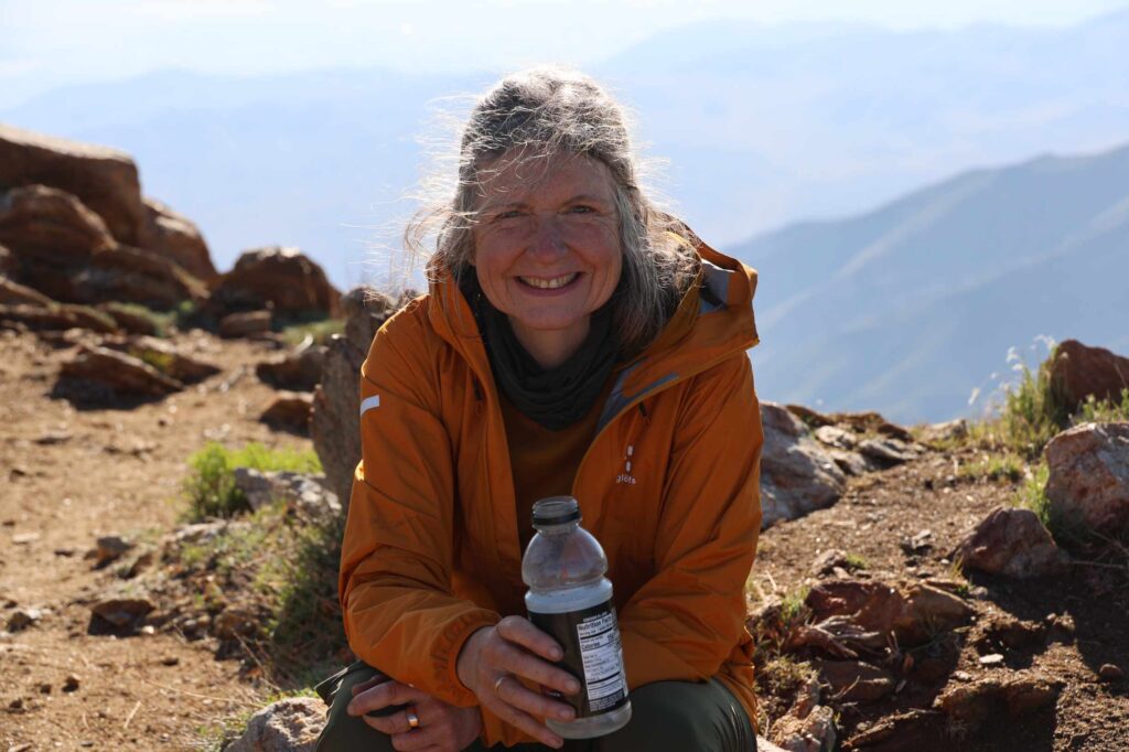
There are great differences in the weather here. Some days have we have walked in the drifting clouds along a ridge, other days it’s baking hot. Like the day before yesterday when we went down from the San Jacinto – a descent of over 2000 metres – in the hot sun, and 100 degree heat.
Yesterday we hiked a few miles and went to Palm Springs in order to buy supplies and recuperate a little. The next piece of the official route from here along Whitewater Creek and Mission Creek is completely washed out and impassable, so we will have to skip forward to a trailhead at Onyx Summit. From there, the route goes past Big Bear Lake to the next resupply stop at Arrowhead Lake.

Snow to 100 degrees! Sending good wishes.